Corridor Mapping
When completing large corridor mapping projects, a large portion of our work begins in the planning stage back in the office on desktop computers. Our pilots use GIS software to determine the topography of the area to be mapped and points of entry and exit. Various aeronautical charts are viewed to determine the class of airspace and whether flight authorizations are required to legally and safely fly in the areas to be flown.
All this work takes a great deal of time and research but is a necessity to make sure the job is performed safely and efficiently.
Our objective is to complete the job on time, safely and within scope but our pilots are always competent and capable in reacting to any potential unforeseen circumstances. Because our pilots have hundreds of piloting hours and wide ranging project experience, we are in a good situation to overcome any and all challenges thrown our way.
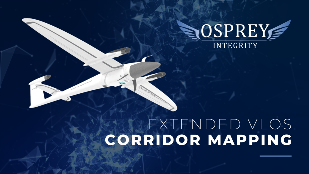
Use Case: Extended VLOS Corridor Mapping
Scope of Work
We were contracted to collect ultra high-resolution aerial imagery of long stretches of corridor-based installations for implementation with geomatics and inspections requirements.
Requirements of the Service Provider:
- Collect as many linear kilometers daily, as feasibly possible, in accordance with existing visual line of sight drone regulations.
- Coordinate with project management and surveying crews for streamlined workflow and quality assurance.
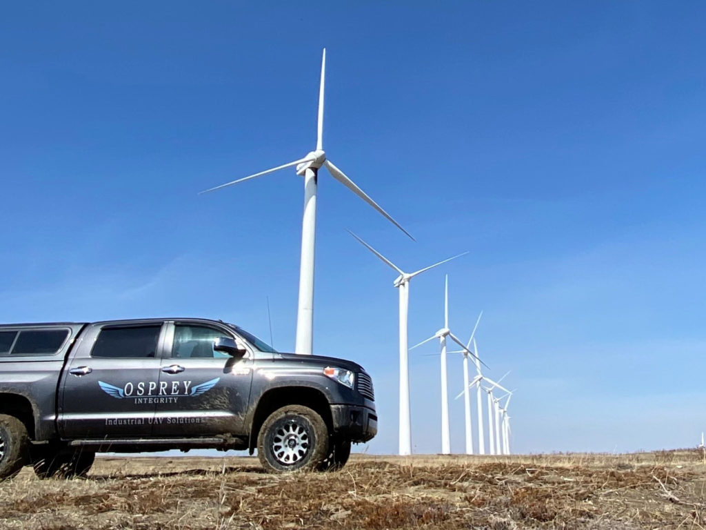
- Operate in remote areas, including circumvention of multiple creek and river crossings.
- Process the raw imagery into ortho-rectified, geo referenced, deliverables for integration with the client’s web UI.
- Hold the required safety and security clearances for site access.
The Result
Like all of our projects, these missions begin with thorough desktop planning. This relies on the use of GIS software to evaluate the typography, access and egress, telemetry viewshed and aviation charts for airspace evaluation. Using this information, our crew will begin flight planning strategically for optimized data acquisition, safety and efficiency.
Upon arriving in the field, with valid work permits, the three-person crew confirmed the appropriate flight plans and made necessary plans for ‘on the fly’ adjustments and made the appropriate airspace radio calls to get flying. With a 42MP sensor, delivering 1.7cm resolution imagery, affixed to our Quantum Systems Trinity f90+ platform, we consistently collected data for 22-24 kilometers of 140m wide corridor, per day, where conditions allowed. The resultant data, once processed, was integrated with a state-of-the-art web view user interface and populated with valuable project management and inspection data.
Lessons Learned
As with any job in an evolving industry, there is always something to grow from on each scope of work. For us, with this client, we encountered a stretch of corridor located in an environmentally sensitive area for which the access, and mitigation requirements, were unknown.
We used this opportunity to pause our progression at a safe location, contact the appropriate authorities to seek clarification on protocols prior to continuing into what could have been a direct contradiction of enforced environmental protection policies.
Thanks to this process we are now well informed on who to contact about these types of concerns.
We're Ready to Help!
If you have an inspection project needing attention, contact us to set up an appointment.